We offer comprehensive Geographic Information System (GIS) services to visualize geographic data, analyze spatial relationships, and manage data efficiently. Our offerings include:
We handle the complete process from field data collection using GPS to digitizing hardcopy maps, data analysis, and map production for dissemination.
Our team expertly creates and maintains GIS databases, utilizing advanced software and hardware to meet specific project requirements.
We provide photogrammetric and digital image processing services, including:
DEMs and orthophoto production
Land cover and land use change analysis
Change detection studies
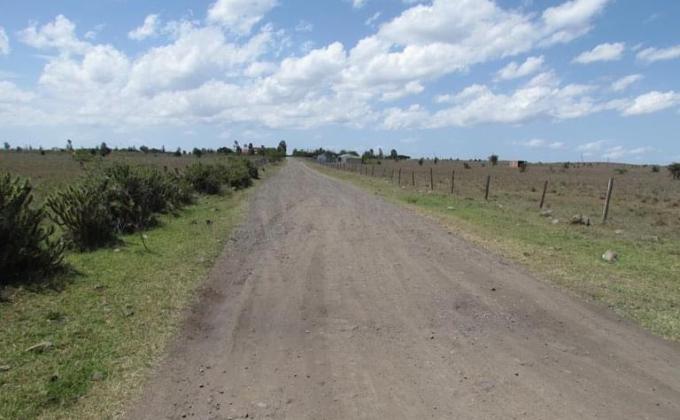
Our surveying division covers a wide array of services:
Cadastral Surveys: For property boundary demarcation, beacon re-establishment, and obtaining title documents.
Sectional Property Surveys: Division of buildings into independently owned units.
Control and Geodetic Surveys: High-precision static surveys for absolute horizontal coordinates.
Drone Surveys: Efficient spatial data acquisition with high spatial and radiometric resolutions.
Topographical Surveys: Supporting site planning and engineering design.
Due Diligence Surveys: Verifying land status through critical document checks.
Route Surveys: For infrastructure projects including roads, pipelines, and utilities.
Precise Construction Surveys: Supporting building projects with accurate leveling, alignments, and volume calculations.
Map Production: Custom maps tailored for web, publication, and promotional uses.
Using drone technology, we quickly collect accurate geo-referenced data, enabling fast production of orthomosaics and 2D/3D mapping for cadastral, topographical, and land-use change analysis.
We specialize in matching high-quality tenants and buyers to properties, ensuring optimal market prices. Our approach focuses on preserving and enhancing property value while aligning price expectations with market realities, thus ensuring optimal investment and rental outcomes.
We guide you through Kenya’s complex real estate landscape, ensuring smooth land and house purchases through skilled conveyancing services.
We help you navigate the legal intricacies of mortgage financing, ensuring that your interests are protected in the charge instruments and offering clear legal remedies.
We offer tailored advice on:
Ardhisasa is an innovative government platform developed by the Ministry of Lands and Physical Planning (MoLPP) and the National Land Commission (NLC) to enable stakeholders to access and interact with land information online.
Top Radius Properties Limited assists clients in: